Шаблона:Мапа Европы: Роздїлы міджі ревізіями
Вилучено вміст Додано вміст
мНемає опису редагування |
м Bot: Migrating interwiki links, now provided by Wikidata on d:q6002821 |
||
| Рядок 123: | Рядок 123: | ||
Legend: <font color="blue">'''blue'''</font> = [[List of countries spanning more than one continent#Contiguous boundary|Contiguous transcontinental states]]; <font color="green">'''green'''</font> = Sometimes considered European but geographically outside Europe's boundaries. |
Legend: <font color="blue">'''blue'''</font> = [[List of countries spanning more than one continent#Contiguous boundary|Contiguous transcontinental states]]; <font color="green">'''green'''</font> = Sometimes considered European but geographically outside Europe's boundaries. |
||
[[ab:Шаблон:Европа]] |
|||
[[cs:Šablona:Mapa Evropy]] |
|||
[[id:Templat:Peta Eropa]] |
|||
[[ja:Template:ヨーロッパ地図]] |
|||
[[km:ទំព័រគំរូ:អឺរ៉ុប និង សមុទ្រ]] |
|||
[[ko:틀:유럽의 나라들 위치지도]] |
[[ko:틀:유럽의 나라들 위치지도]] |
||
[[pt:Predefinição:Mapa detalhado da Europa]] |
|||
[[ro:Format:Harta politică a Europei]] |
|||
[[tr:Şablon:Avrupa haritası]] |
|||
</noinclude> |
</noinclude> |
||
Ревізія 19:24, 17 авґуста 2013
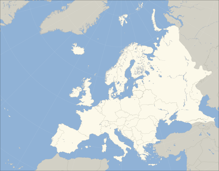
Clickable map of Europe, showing the standard convention for its continental boundary with Asia. (see boundary between Europe and Asia for more information).
Legend: blue = Contiguous transcontinental states; green = Sometimes considered European but geographically outside Europe's boundaries.

